Domestic and Non-Domestic Property Valuation
Visualise the Net Annual Value (NAV) for non-domestic properties and the Capital Value (CV) for domestic properties. These values are used to determine the amount of rates you have to pay.
Launch Map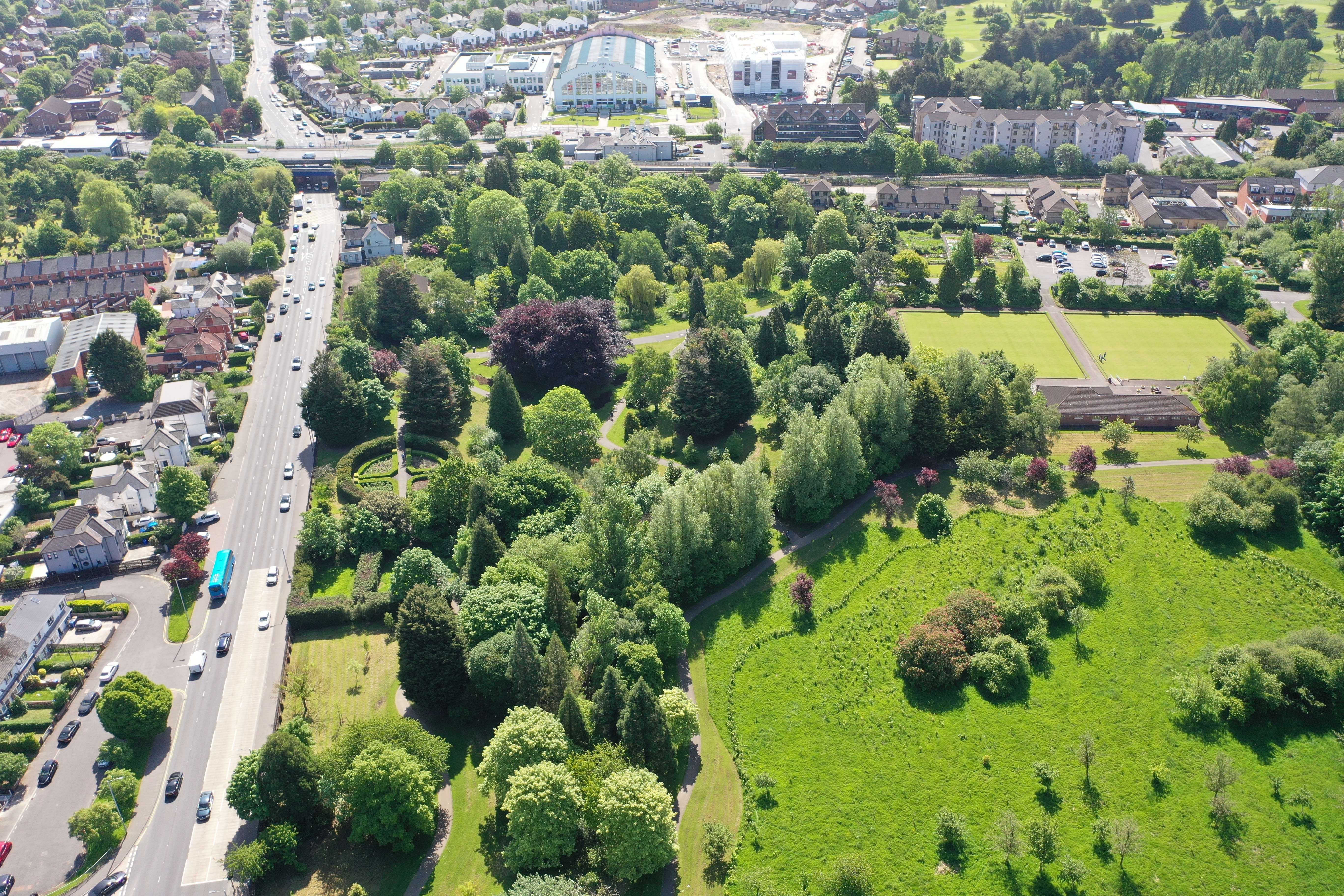
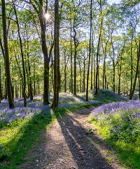
Greenspace NI Map
Greenspace NI Map
GreenspaceNI Map: a high value map of all off-road trails and publicly accessible greenspace.
Launch Map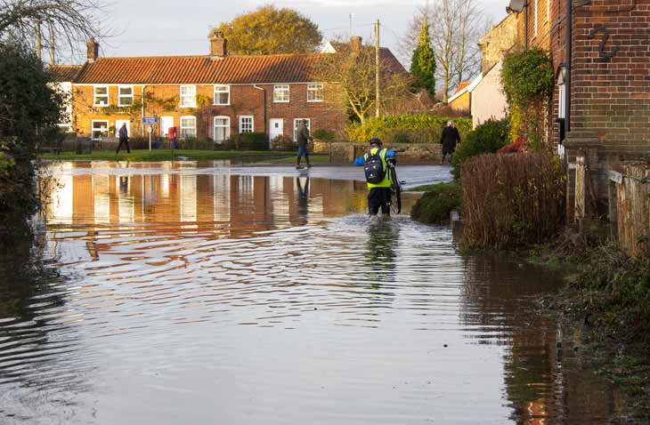
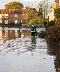
Floodmaps NI
Floodmaps NI
Use the authoritative flood map viewer for Northern Ireland to estimate the flood risk to communities, properties and sites.
Launch Map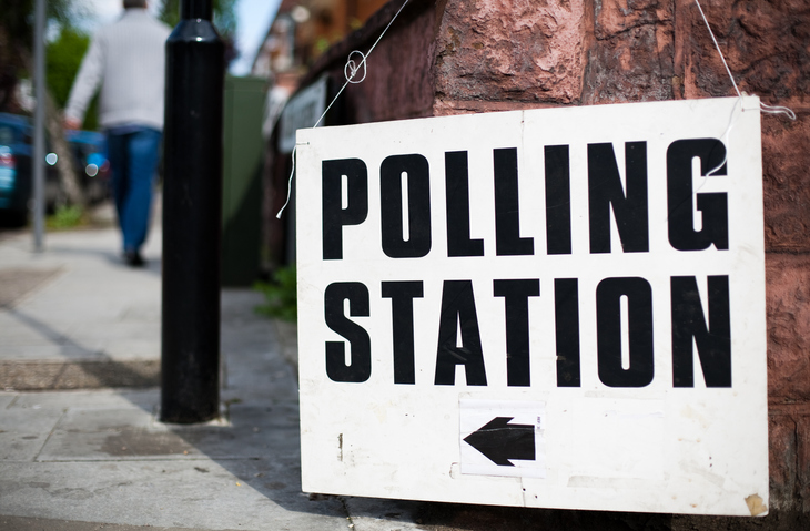
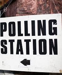
Polling Stations Map
Polling Stations Map
View the location of polling stations in Northern Ireland and the properties assigned to each station.
Launch Map
PRONI Historical Maps
PRONI Historical Maps
Search and browse a range of historical OSNI maps and find information on sites, buildings and landmarks of historical interest.
Launch Map
Natural Environment Maps
Natural Environment Maps
View the protected areas, habitats, species,landscape and seascape areas in Northern Ireland.
Launch Map